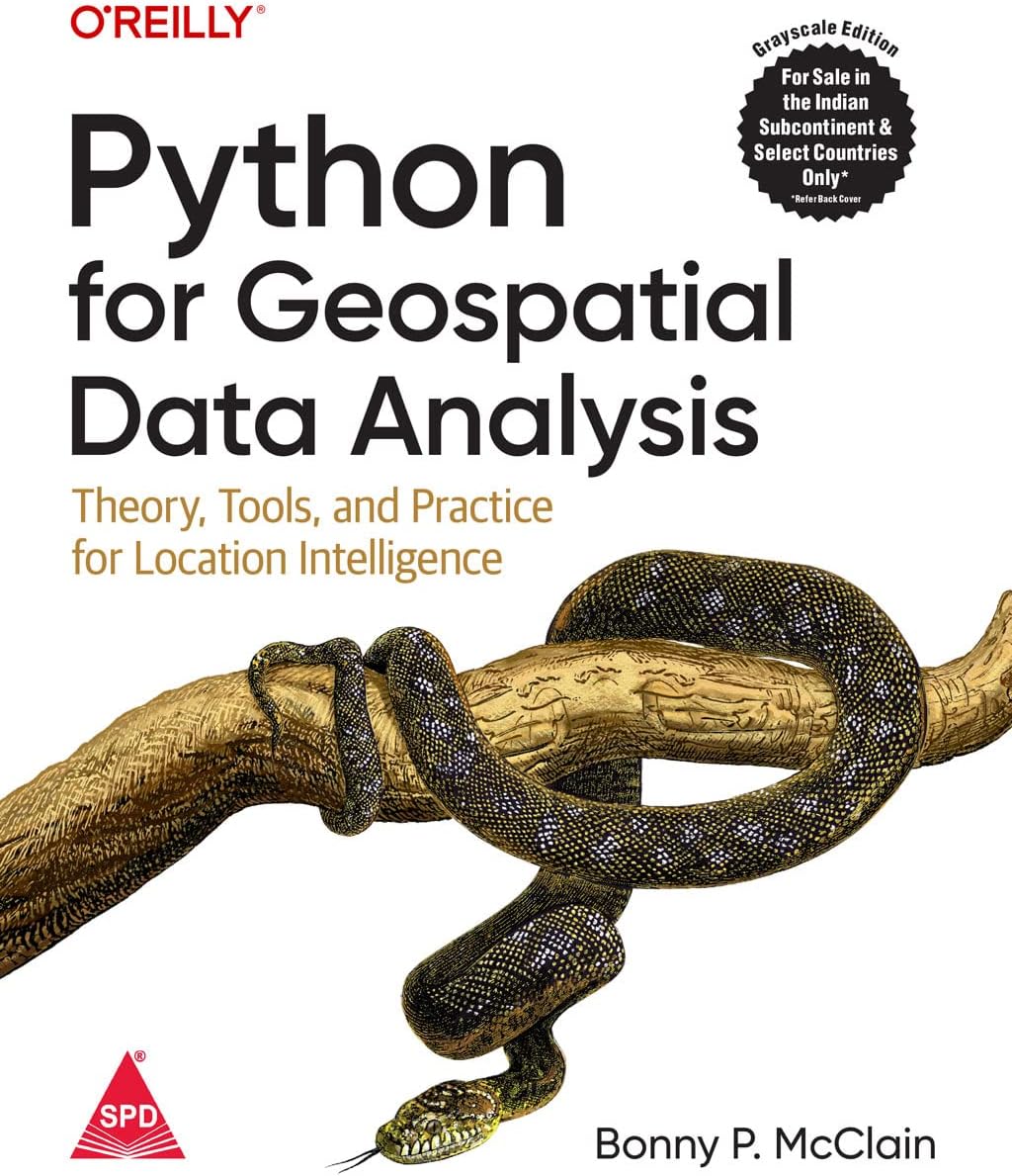
Python for Geospatial Data Analysis: Theory, Tools and Practice for Location Intelligence (Grayscale Indian Edition)
Product ID: 489812192
Desertcart purchases this item on your behalf and handles shipping, customs, and support to Uruguay.
Disclaimer Shroff Publishers do not endorse the preview pages of kindle linked to our ISBNs. All Indian Reprints of O'Reilly are Printed in Grayscale. In spatial data science, things in closer proximity to one another likely have more in common than things that are farther apart. With this practical book, geospatial professionals, data scientists, business analysts, geographers, geologists, and others familiar with data analysis and visualization will learn the fundamentals of spatial data analysis to gain a deeper understanding of their data questions. Author Bonny P. McClain demonstrates why detecting and quantifying patterns in geospatial data is vital. Both proprietary and open source platforms allow you to process and visualize spatial information. This book is for people familiar with data analysis or visualization who are eager to explore geospatial integration with Python. This book helps you: Understand the importance of applying spatial relationships in data science Select and apply data layering of both raster and vector graphics Apply location data to leverage spatial analytics Design informative and accurate maps Automate geographic data with Python scripts Explore Python packages for additional functionality Work with atypical data types such as polygons, shape files, and projections Understand the graphical syntax of spatial data science to stimulate curiosity Review: Figures are unreadable - Terrible text in figures. Almost useless Review: Not worth the price - This book is not very useful. you can get most of these things online for free. And I now know why the seller has not allowed return but just replacement. Not at all worth the money.
| Best Sellers Rank | #601,318 in Books ( See Top 100 in Books ) #7,947 in Computer Science Textbooks |
| Customer Reviews | 3.5 out of 5 stars 45 Reviews |
C**S
Figures are unreadable
Terrible text in figures. Almost useless
U**H
Not worth the price
This book is not very useful. you can get most of these things online for free. And I now know why the seller has not allowed return but just replacement. Not at all worth the money.
G**O
Buono
Ottimo per cominciare. Scarno per intermediate.
B**S
Great Platform-Independent Intro
Python is widespread in geospatial and this book covers most of the bases: QGIS, Google Earth Engine, GeoPandas, GDAL/OGR, and ArcGIS. It is a great jumping-off point and, using the information here, you can begin deeper exploration of using Python with any of these platforms. If, like me, you find yourself switching between many of them, this book is a great resource. This book assumes you already have some understanding of GIS and spatial analysis, which is a reasonable assumption. It does not attempt to teach you GIS in a single book. If you are a Python developer who is new to geospatial or if you are a GIS analyst new to Python development, this book will get you pointed in the right direction. If you choose only one book on working with geospatial Python, make it this one. You'll gain a foundation you can build upon for future work.
E**N
Livro bem útil, tanto para quem sabe Python e precisa usar coisas de Geoprocessamento, como o oposto
É uma linguagem simples, com conceitos profundos. Ajuda muito, mesmo para quem já atua na área. Expande horizontes.
S**M
Waste of time an money
This book has nothing to do with geospatial python coding!! It basically a beginner to intermediate operating tutorial of QGIS , Google earth engine and …. Wast of time and money!!!!
T**R
Superficial
When I saw the announcement for this book on the O'Reilly website, I knew immediately that I had to get it. My programming background is in C/C++/C# and I've only been using Python for a year or two, and I'm still trying to find my way through all the libraries and packages that are available. The description on the O'Reilly website looked like this book would cover of what is important to me as someone who deals with geospatial data on a daily basis. Unfortunately, my conclusion after reading through the book is that it is quite superficial. Most provided examples are the plotting of data, with little actual analysis being shown. It starts with chapter 1, where map projections are briefly explained - limited to global maps with no mentioning of national grids or EPSG codes (which only appear briefly later on). Chapter 2 is an introduction to QGIS. Chapter 3 introduces PyQGIS, the QGIS Python API. Loading and styling data are explained, but there is only one example that actually does any data processing/analysis: Selecting cities based on distance to a river. The paragraph Addressing the Research Question poses an interesting question, but never actually does the analysis - it just encourages the reader to look at the maps and find patterns. This chapter also uses the term uploading for opening datasets in QGIS, which I find confusing. Chapter 4 discusses Google Earth Engine and how to use it to display data. This chapter promises a decision-tree classification of Landsat data - but this never happens. Chapter 5 talks about OpenStreetMap and actually shows a few useful examples, such as calculating travel times, and some network parameters. Chapter 6 is about the ArcGIS Python API, and once again focuses mostly on displaying data. As ArcGIS is commercial software, I feel that this chapter will be of little use to many people. Chapter 7 is about Geopandas. Geopandas is a spatial extension to Pandas, a very powerful Python package for dealing with tabular data. I would have expected that it shows at least how to read a CSV file of data, convert it to a Geopandas data frame with geometry, and save it - but no, only loading and plotting of existing datasets is shown. In a note it is stated that A normal distribution is when the mean, mode, and median are all the same value. This is plain wrong - yes, in a normal distribution the mean, mode, and median are the same value. But one can think of other distributions for which this is the case, but which are not Gaussian and hence not normal. Chapter 8 is about data cleaning, and briefly shows how to use Geopandas to load shapefiles and create Geodataframes from CSV files - which should be happening in chapter 7. Here's another inaccuracy: it is stated that GeoPandas is a Cartesian coordinate reference system, which means that each point is defined by a pair of numerical coordinates, such as latitude and longitude in our example. This is not what a Cartesian coordinate system is, and a latitude/longitude coordinate system is certainly not a Cartesian coordinate system! Chapter 9 is a short introduction to GDAL, a library for working with raster data. Finally, chapter 10 does some real data analysis, using deforestation data. Sorely missing is a chapter about PostGIS, the open source spatial database based upon PostgreSQL. You probably can tell that I'm disappointed by this book. It just feels incomplete and unpolished, and probably should have been called An Introduction to Geospatial Data Analysis with Python or something similar instead. As such, it is useful in providing an overview of packages and possibilities for reading, displaying, and analyzing gespatial data with Python. But for actually learning how to do geospatial analysis with Python, you'll have to go looking elsewhere.
Trustpilot
2 months ago
3 days ago